Safe Money and Income (Adam Waskey)
6:00 pm - 7:00 pm
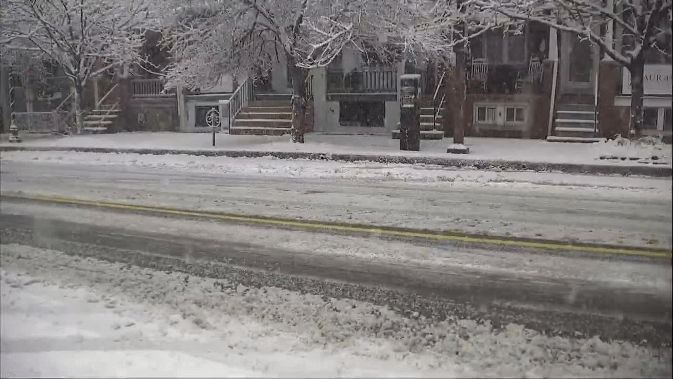
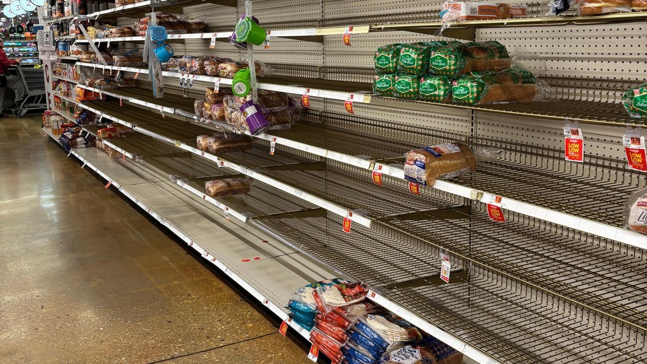
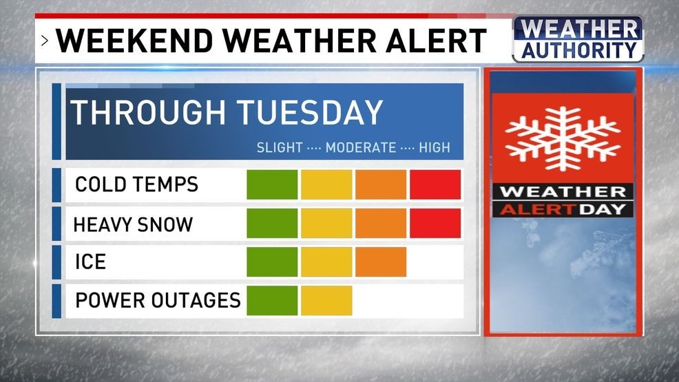
BALTIMORE (WBFF) — Updated 9 a.m. January 24 — Saturday through Tuesday: WEATHER ALERT for more dangerous cold and significant snowfall.
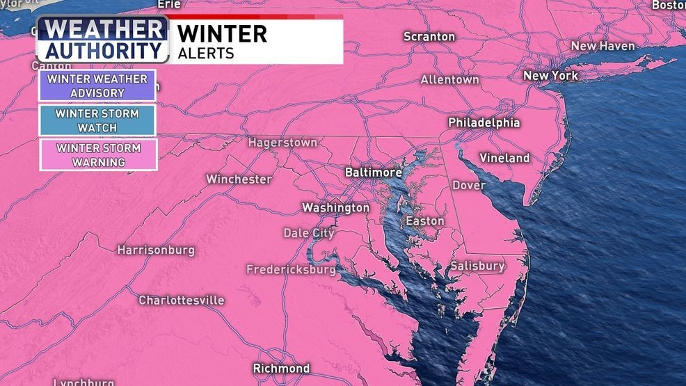
Winter storm warning
A winter storm warning goes into effect late Saturday night through early Monday due to significant snow and ice.
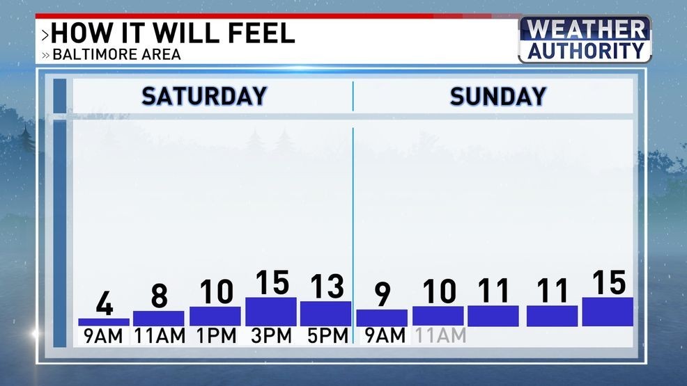
How it will feel{ }
TEMPERATURES: Highs reach the low 20s Saturday and Sunday with wind chills in the single digits and teens.
Storm timeline{ }
TIMELINE: Snow begins late Saturday night (around 10 PM) with heavy snow developing by early Sunday morning. Snow will change to sleet and freezing rain around midday Sunday through Sunday night. Sleet and freezing rain will wrap up by very early Monday morning (1 AM).

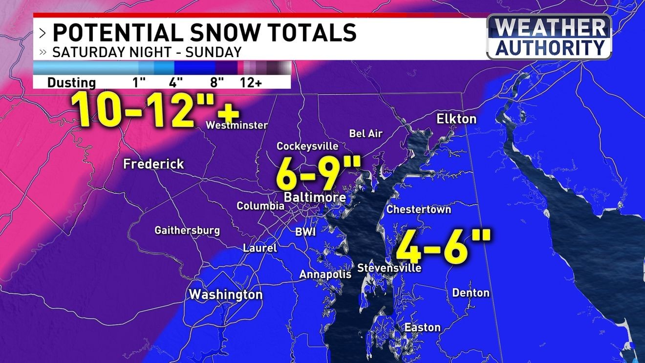
Snow totals{ }
AMOUNTS: Snow totals of 6-9″ are most likely around Baltimore with 10-12″+ for areas north and west, including Carroll County.
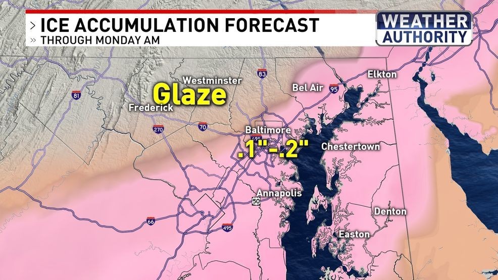
Ice amounts{ }
IMPACTS: On top of the snow, there will also be a layer of ice. This could lead to treacherous travel and power outages.
BE THE FIRST TO COMMENT
DEEP FREEZE: The storm exits on Sunday night and leaves a brutally cold airmass behind with frigid temperatures much of next week.
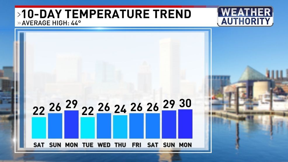
Temperature trend{ }